Sobaeksan
South Korea, North Chungcheong
About Sobaeksan
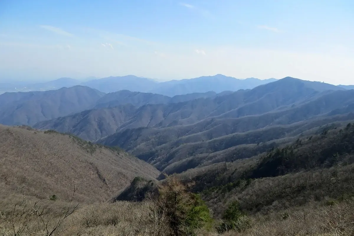
Sobaeksan National Park lies on the border of Yeongju and Bonghwa in Gyeongsangbuk-do and Danyang County in Chungcheongbuk-do[1]. It covers about 322 km², 168.407 km² in Gyeongbuk and 153.604 km² in Chungbuk, and was designated on 14 December 1987 as the 18th national park[1]. Its highest peak, Birobong, is 1,439 m[1]. The mountain has long been treated as sacred alongside Taebaeksan, and its name means "small Baekdu"[1].
Wildlife Ecosystems
Flora Ecosystems
Geology
The area is made up of Precambrian gneisses, including biotite granitic gneiss and migmatite gneiss; dating of the biotite granitic gneiss indicates an intrusion about 2.16 billion years ago[1].
Climate and Weather
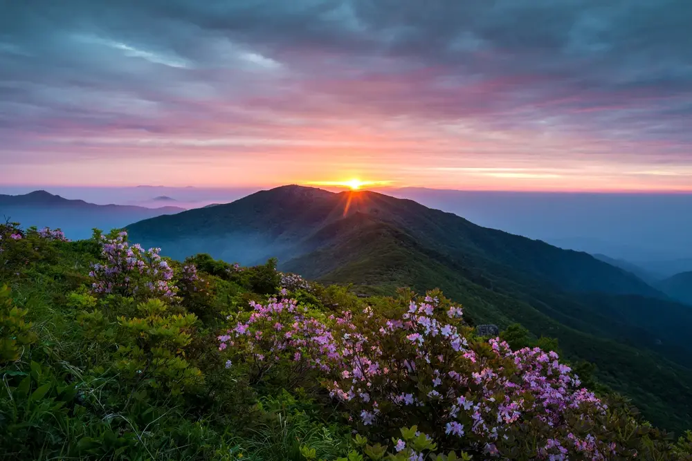
Birobong's grassland and yew groves[1] grow on exposed ridges above 1,400 m, the highest and most exposed part of the park.
Human History
In the Joseon period Sobaeksan was considered free of the three disasters of fire, flood and wind and was named one of the Sipseungji, places of refuge from war and famine[1].
Park History
Sobaeksan was named a national park on 14 December 1987 by a Ministry of Construction notice; the IUCN certified it as Category II in 2007[1].
Major Trails and Attractions
Trails to Birobong start at Samga-dong (5.7 km, about 3 hours), Huibangsa (4.4 km, 2 h 20 min), Eouigok (4.6 km, 2 h 30 min), Cheondong Valley (6.8 km, 3 hours), and Chogam-sa (7.3 km, 3 h 10 min), among others[1]. Huibang Falls stands near the Huibangsa trailhead[1]. Other peaks are Gukmangbong (1,421 m), Yeonhwabong (1,383 m) and Dosolbong (1,314 m)[1].
Visitor Facilities and Travel
Trailhead visitor centres stand at entrances including Samga, Huibang and Cheondong[1].
Conservation and Sustainability
Photos
1 photo