Taebaeksan
South Korea, Gangwon
About Taebaeksan
Taebaeksan National Park covers 70.052 square kilometres on the border of Gangwon and North Gyeongsang provinces, about 73% in Taebaek and 25.6% in Bonghwa County, with small parts in Yeongwol and Jeongseon[1]. The summit area is about 1,568 m and the mountain is a sacred peak where rites have been held for over a thousand years[1].
Wildlife Ecosystems
The park has 2,637 recorded wild species, including 22 endangered species and 10 natural monuments. Birds include the golden eagle, and mammals include the Korean goral, marten and leopard cat[1].
Flora Ecosystems
Geology
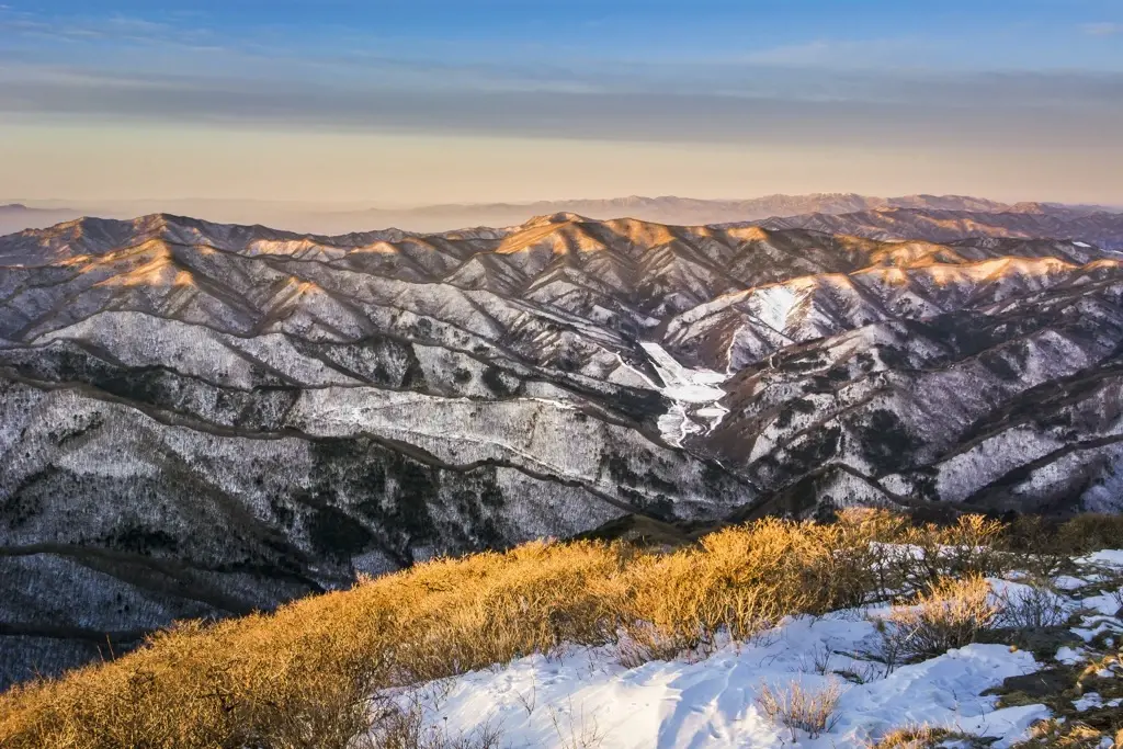
The summit is strewn with gravel and sand, which makes it look snow-covered from a distance and gave the mountain its name. The landscape includes 14 peaks, 3 rock formations, 3 valleys, 4 passes and 2 ponds[1].
Climate and Weather
Human History
Park History
The area became Taebaeksan Provincial Park on 13 May 1989 with 17.44 square kilometres, and was upgraded to Korea's 22nd national park on 22 August 2016 at 70.052 square kilometres, about four times larger[1]. The expansion drew local debate over limits on development projects such as a sky road and monorail[1].
Major Trails and Attractions
Cheonjedan, a piled-stone altar on Yeongbong about 2.4 m high, has been used for rites for over a thousand years and is still the site of a ceremony every 3 October[1]. Trails run from Yuil-sa, Baekdan-sa, Dangol, Munsu-bong and Geumcheon, and Mangyeongsa has a spring described as the highest in South Korea[1].
Visitor Facilities and Travel
The Danggol entrance has the Taebaek Coal Museum, and lodging, restaurants and campgrounds are available in the Sodo area near the mountain[1]. Taebaek is the nearest town, about 8 km from the park centre.
Conservation and Sustainability
Photos
1 photo