International Parks
  • Explore
  • Map
  • Ratings
  • Review
  • Wiki
  • Suggest a Park
  • About
Log In
  1. Home
  2. South Korea Parks
  3. Chiaksan

Quick Actions

Park SummaryView on MapSouth Korea WikiWiki HomeWrite ReviewReport an Issue

Nearby Parks

Gangwon Paleozoic40 kmDanyang48 kmWoraksan57 kmSobaeksan58 kmByeongbangsan60 km

Platform Stats

23,798Total Parks
217Countries & Territories
Support Us
Chiaksan in Gangwon, South Korea

Chiaksan

South Korea, Gangwon

  1. Home
  2. South Korea Parks
  3. Chiaksan

Chiaksan

LocationSouth Korea, Gangwon
RegionGangwon
TypeNational Park
Coordinates37.33°, 128.047° (show on the map)
Established1984
Area182 km²
Nearest CityWonju (15 km)
See all parks in South Korea →
Contents
  1. Park Overview
    1. About Chiaksan
    2. Wildlife Ecosystems
    3. Flora Ecosystems
    4. Geology
    5. Climate and Weather
    6. Human History
    7. Park History
    8. Major Trails and Attractions
    9. Visitor Facilities and Travel
    10. Conservation and Sustainability
  2. Visitor Information
    1. Visitor Ratings
    2. Photos
  3. Sources

About Chiaksan

Chiaksan National Park lies around Wonju in Gangwon Province and covers about 181.57 km2. Its main peak, Birobong, rises to 1,288 m, and the park was designated on 31 December 1984 as South Korea's 16th national park[1]. The name means "Pheasant Peak Mountain" and comes from a legend of a man who saved a pheasant from a snake[1].

Wildlife Ecosystems

The park is recorded as home to 2,364 animal species, 34 of them endangered, including the flying squirrel and Hodgson's bat[1]. Rare birds named for the mountain include the Oriental dollarbird, ruddy kingfisher, white-backed woodpecker, grey-headed woodpecker and black-naped oriole[2].

Flora Ecosystems

About 821 plant species are recorded in the park[1]. The slopes carry mixed broadleaf and conifer forest[2]. The mountain was once called Jeokaksan, "red peak", reportedly for its red autumn foliage[2].

Geology

The core rock is the Chiaksan gneiss, a Precambrian basement unit of metamorphosed mudstone, sandstone and limestone, mainly biotite gneiss and migmatitic gneiss. A marble layer 20 to 30 m thick occurs at Galgol in Gangnim-myeon, and zircon dating points to deposition about 2.0 billion years ago[2].

Climate and Weather

Chiaksan sits in the inland Taebaek-side uplands of Gangwon Province, where winters are cold and summers are warm and humid. Autumn colour on the slopes is its best-known seasonal feature[2].

Human History

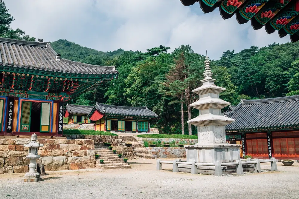
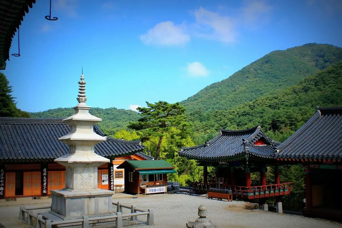
The Silla-era temple Guryongsa, traditionally linked to the monk Uisang, stands at the foot of the mountain, and Sangwonsa is tied to the pheasant legend that gave the peak its name[2]. Fortress sites in the area include Geumdae, Yeongwon and Haemi[2]. Three Maitreya stone towers on Birobong were built between 1962 and 1964[2].

Park History

Chiaksan was designated a provincial park in 1973 and upgraded to a national park on 31 December 1984[1][2]. The Wonseong Seongnam-ri Seonghwangrim grove inside the area has been a Natural Monument (No. 93) since 3 December 1962[2].

Major Trails and Attractions

The hardest route is the Ladder Byeongchang trail from Seryeom Falls to Birobong, about 2.7 km with slopes of 25 to 35 percent. An easy approach runs 1.1 km from the Guryong car park to Guryongsa and on to the Geumgang Solbit Ecological Learning Center and Seryeom Falls. The Chiaksan Dulle-gil loop is 139.2 km across 11 courses and opened fully on 20 May 2021[2].

Visitor Facilities and Travel

The main approach is the paid Guryong (Sinheung) car park near Guryongsa. There are safety centres at Daegok and Seryeom, and the Geumgang Solbit Ecological Learning Center. Hiking is allowed only at set hours: 05:00 to 13:00 from November to March and 04:00 to 14:00 from April to October[2].

Conservation and Sustainability

The park is managed by the Korea National Park Service as an IUCN Category II protected area[1]. Entry hours on the summit trails are limited, and the Valley Trail from Seryeom Falls is frequently closed because of rockfall[2].

Visitor Ratings

Not yet rated. Been here? Your review gives this park its first scores.

Write a review

Photos

2 photos
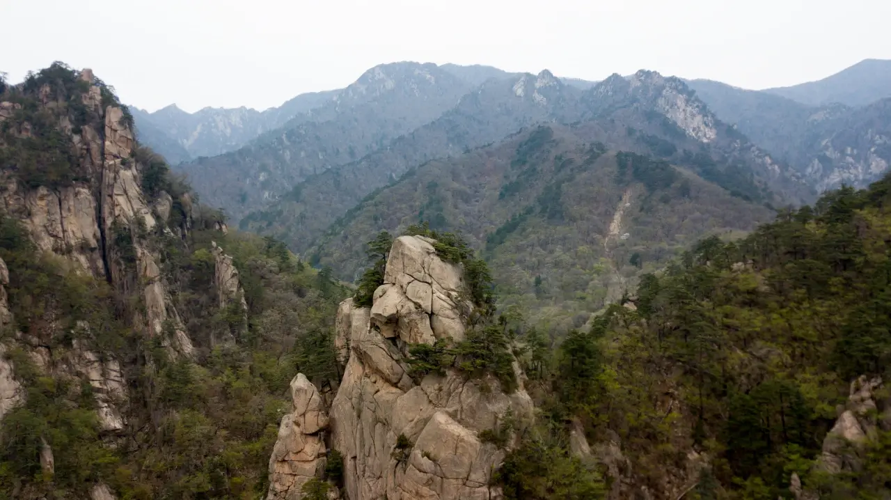
Chiaksan in Gangwon, South Korea (photo 1 of 2)
Chiaksan in Gangwon, South Korea (photo 2 of 2)

Sources

  1. en.wikipedia.org/wiki/Chiaksan_National_Park (opens in a new tab)
  2. ko.wikipedia.org/wiki/치악산국립공원 (opens in a new tab)

International Parks

Helping nature enthusiasts discover and explore the world's most remarkable protected areas.

© 2026 International Parks. All rights reserved.

Navigation

  • Home
  • Explore Parks
  • Interactive Park Map
  • Park Ratings & Rankings
  • Park Wiki
  • Parks by Country

Resources

  • About Us
  • US National Park Seasons
  • Privacy & Terms
  • Copyright & Takedown

Account

  • My Profile
  • Suggest a Park
  • Write a Review
  • Log In
  • Sign Up

Connect

Support This Project

Contact Us

internationalparksbusiness@gmail.com

Explore by Country

  • United States
  • Canada
  • Australia
  • United Kingdom
  • Japan
  • Brazil
  • India
  • France
  • Germany
  • Italy
  • Spain
  • Thailand
  • All countries