Gaurishankar
Nepal, Bagmati
About Gaurishankar
Gaurishankar Conservation Area is a protected area in the Nepal Himalaya covering 2,179 km2 in Ramechhap, Dolakha and Sindhupalchok districts, bordering Tibet to the north. It was established in January 2010, spans 22 village development committees, and is an IUCN category VI area. It lies between Langtang and Sagarmatha national parks and is part of the Sacred Himalayan Landscape[1].
Wildlife Ecosystems
Thirty-four mammal species live here, including snow leopard, Himalayan black bear and Himalayan tahr, and the red panda is among the rarest. In February 2019 an Asian golden cat was photographed, along with Assam macaque, masked palm civet, Himalayan goral, Himalayan serow and Indian muntjac. 235 bird species have been recorded[1].
Flora Ecosystems
Sixteen vegetation types have been identified. Forests include Pinus roxburghii, Schima-Castanopsis, alder, Pinus wallichiana, Pinus patula, rhododendron, Quercus lanata and temperate mountain oak forest[1].
Geology
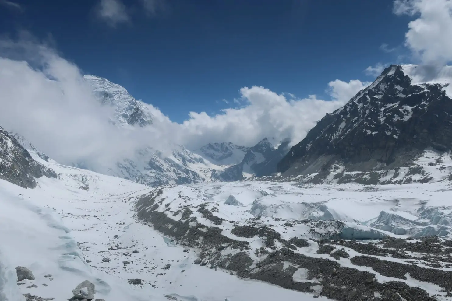
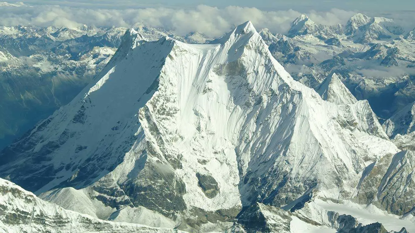
The area is high Himalayan terrain around Gaurishankar, a sacred peak on the Nepal-Tibet border, and the Rolwaling valley. Glacial lakes such as Tsho Rolpa sit at the head of that valley.
Climate and Weather
The conservation area climbs from warm lower valleys to glaciated peaks, so conditions vary with elevation. Spring and autumn are the usual trekking seasons.
Human History
Sherpa, Tamang and Chhetri communities live in the area, and the Rolwaling valley has long been a Sherpa homeland. When the conservation area was proposed in 2010, the Federation of Community Forest Users, Nepal opposed it[1].
Park History
The conservation area was established in January 2010. The government handed its management to the National Trust for Nature Conservation for 20 years, which runs the Gaurishankar Conservation Area Project[1].
Major Trails and Attractions
The Rolwaling valley trek is the main route, passing Beding and Na to the glacial lake of Tsho Rolpa, with the Tashi Lapcha pass as an optional crossing for experienced trekkers. A waterfall lies on the road to Lamabagar[1].
Visitor Facilities and Travel
The nearest town is Charikot. Treks start at road ends such as Gonggar or Jagat and a conservation area permit is needed.
Conservation and Sustainability
The area serves as a corridor linking Langtang and Sagarmatha national parks, with habitat for red panda and snow leopard. Management is run by the National Trust for Nature Conservation together with local communities[1].
Photos
1 photo