Sagarmatha
Nepal, Koshi
About Sagarmatha
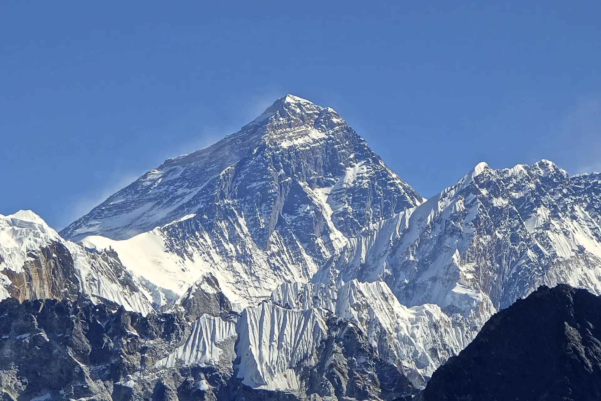
Sagarmatha National Park covers 1,148 km² in the Solukhumbu District of Koshi Province, in the Himalayas of eastern Nepal. It contains Mount Everest at 8,848 m and rises from 2,845 m at Monjo, and it was the first Nepali national park inscribed as a Natural World Heritage Site[1].
Wildlife Ecosystems
The park records 208 bird species, including Impeyan pheasant, bearded vulture, snowcock and alpine chough, and is an Important Bird Area. Himalayan tahr, Himalayan serow and musk deer are the main ungulates. Snow leopards live above 3,500 m, while Indian leopards roam the lower forests[1].
Flora Ecosystems
More than 1,000 plant species have been recorded. Subalpine forests of fir, Himalayan birch and rhododendron give way to juniper and rhododendron scrub at 4,000 to 5,000 m, and above 5,000 m only mosses and lichens grow[1].
Geology
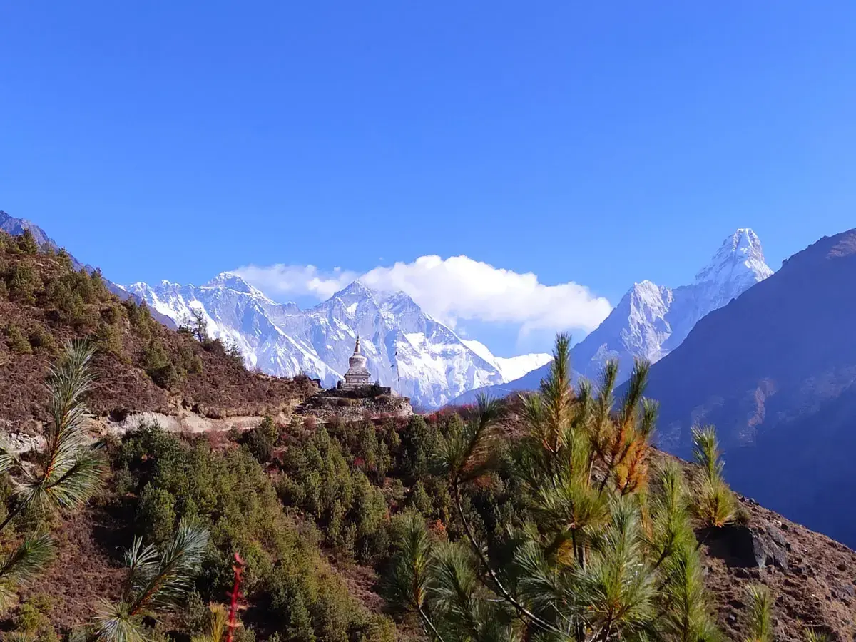
The park holds the upper catchments of the Dudh Kosi and Bhotekoshi rivers and the Gokyo Lakes. Peaks above 6,000 m include Lhotse, Cho Oyu, Thamserku, Nuptse, Ama Dablam and Pumori. Barren land above 5,000 m covers 69% of the park[1]. The Ngozumpa Glacier near Gokyo is described as the largest in Nepal[2].
Climate and Weather
Human History
Park History
The park was established on 19 July 1976 and inscribed as a World Heritage Site in 1979. A 275 km² buffer zone was added in January 2002. It borders Qomolangma National Nature Preserve to the north and Makalu Barun National Park to the east, and is part of the Sacred Himalayan Landscape[1].
Major Trails and Attractions
The classic route flies to Lukla (about 2,860 m), then follows Phakding, Namche Bazaar (3,440 m) and Tengboche (3,860 m), whose monastery looks onto Ama Dablam and Thamserku, to Everest Base Camp (about 5,364 m) and the Kala Patthar viewpoint (5,545 m). A side route reaches the turquoise lakes of Gokyo, with Gokyo Ri at 5,357 m[2].
Visitor Facilities and Travel
Most trekkers fly Kathmandu to Lukla and walk in. Park permits are registered at Monjo, and trekkers need a Sagarmatha National Park entry permit and a Khumbu Pasang Lhamu Rural Municipality entrance permit. Lodging is in teahouses along the trail[2].
Conservation and Sustainability
Buffer zone guidelines prioritise conserving forests, wildlife and cultural resources, followed by other natural resources and alternative energy. Tourism began in the early 1960s and about 19,000 tourists arrived in 2003[1].
Photos
1 photo