Makalu Barun
Nepal, Koshi
About Makalu Barun
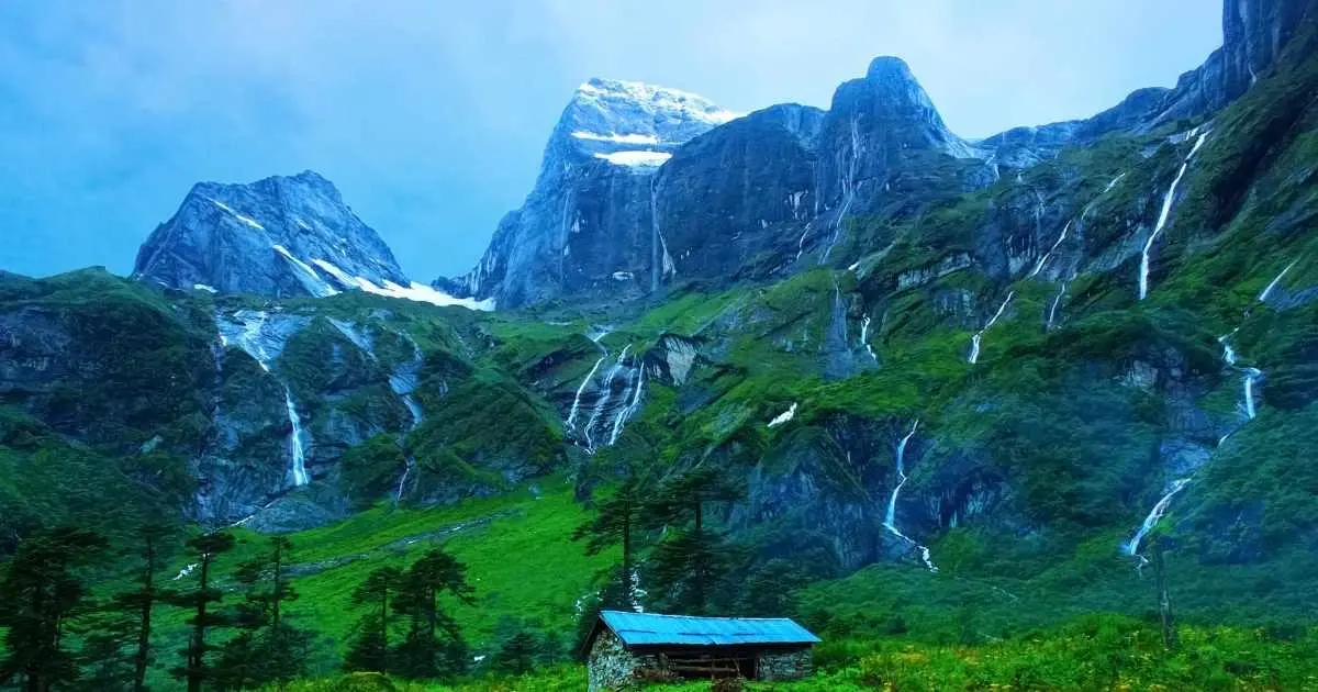
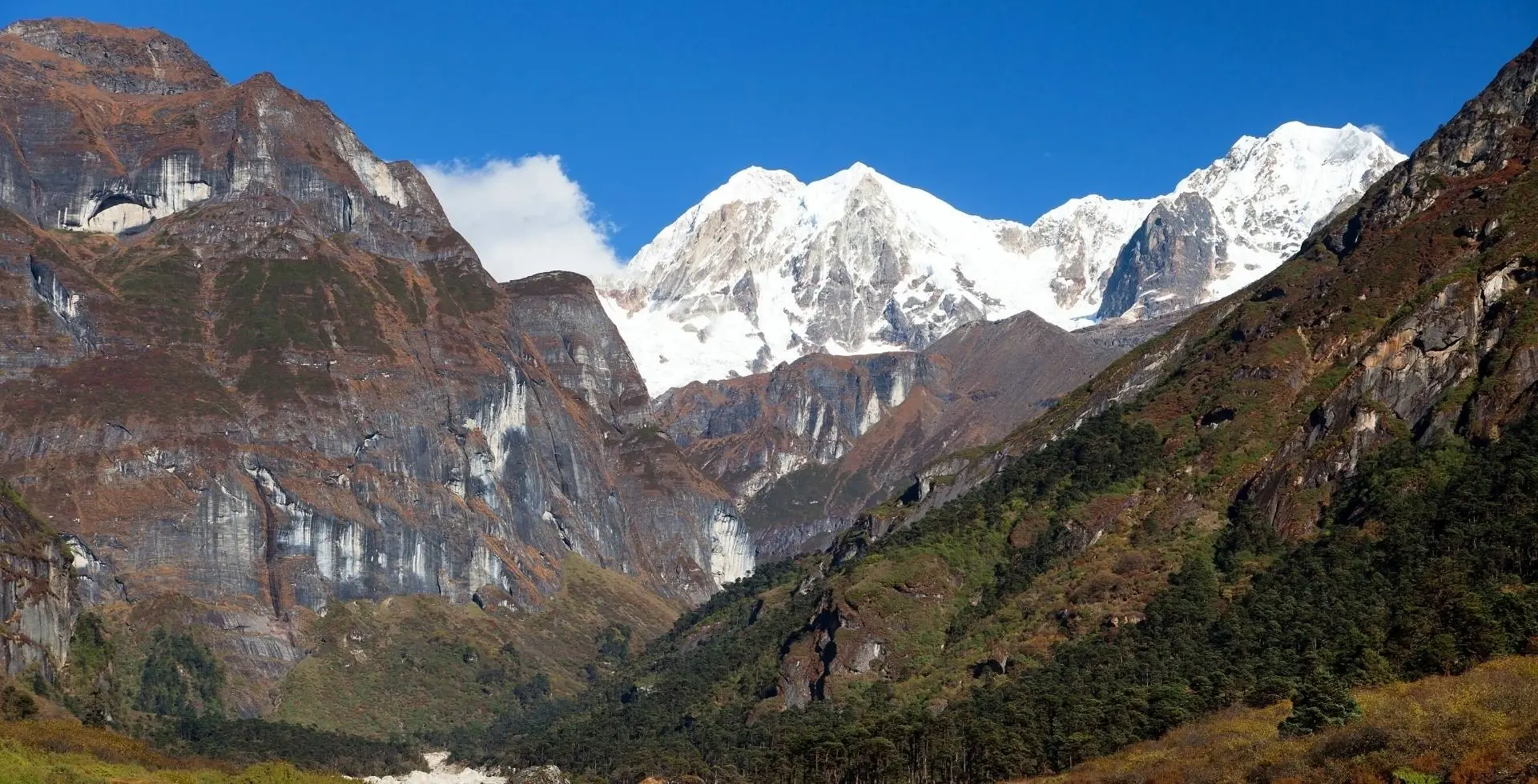
Makalu Barun National Park covers 1,500 km² in the Solukhumbu and Sankhuwasabha districts of Koshi Province, and was established in 1992 as the eastern extension of Sagarmatha National Park. It rises from the Arun River valley at 344 to 377 m to Makalu at 8,463 m, the fifth-highest mountain in the world, and borders Qomolangma National Nature Preserve to the north[1].
Wildlife Ecosystems
The park lists 88 mammal species including snow leopard, clouded leopard, red panda, black bear and Himalayan tahr, plus 440 birds, 315 butterflies, 43 reptiles, 16 amphibians and 78 fish. In May 2009 a camera trap took the first Nepali image of an Asian golden cat, at 2,517 m[1].
Flora Ecosystems
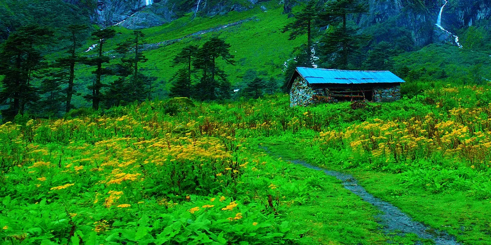
Five bioclimatic zones run from sal forest below 1,000 m to alpine pasture above 4,000 m. Botanists recorded 3,128 flowering plants, including 25 of Nepal's 30 rhododendron varieties, 47 orchids and 19 bamboos. Himalayan birch and East Himalayan fir grow at 3,000 to 4,000 m[1].
Geology
The park spans about 8,025 m of elevation from the Arun valley to Makalu, and above 5,000 m it is mainly rock and ice. Other peaks include Chamalang (7,319 m), Baruntse (7,129 m) and Mera (6,654 m)[1].
Climate and Weather
Human History
Park History
The Mountain Institute surveyed the Barun Valley in the mid-1980s and a proposal followed in 1985. The Makalu-Barun Conservation Area Project began in 1988, and the park was gazetted in 1991 or 1992. In 1999 the conservation area became a buffer zone of 830 km². The Barun Valley is a Strict Nature Reserve[1].
Major Trails and Attractions
The Makalu base camp trek passes Num, Seduwa, Tashigaon, the Shipton La pass and the Barun Valley, reaching Makalu Base Camp at about 5,000 m. It takes 17 to 20 days and is graded strenuous[2].
Visitor Facilities and Travel
The usual approach flies Kathmandu to Tumlingtar (about 30 minutes), then goes by road to Num. Seduwa is the park entrance, where a permit is required. Tashigaon is the last major village, and beyond it only tea houses and small settlements remain[2].
Conservation and Sustainability
The project used community forest user groups, promoted ecotourism and banned hunting of endangered animals, with compensation for crop losses. Forests below 2,000 m are heavily affected by subsistence agriculture[1].
Photos
2 photos