Dhorpatan
Nepal, Gandaki
About Dhorpatan
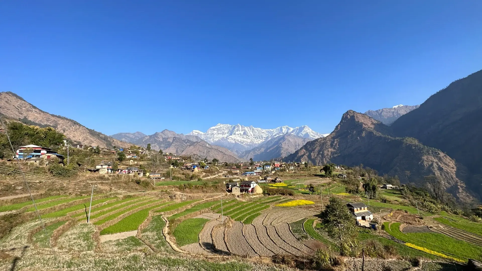
Dhorpatan Hunting Reserve is a protected area in the Dhaulagiri Himal of western Nepal, across Eastern Rukum, Myagdi and Baglung districts, and the country's only reserve where regulated sport hunting is permitted. It covers 1,325 km2 at elevations of 2,850 to 5,500 m. It was established in 1983 and formally gazetted in 1987[1].
Wildlife Ecosystems
Blue sheep are the main hunting quarry and the main prey of the snow leopard. Other mammals include Himalayan tahr, goral, serow, red fox, wolf and red panda, and the cheer pheasant is a notable bird. BirdLife International designates the reserve an Important Bird Area[1].
Flora Ecosystems
Vegetation spans alpine, subalpine and high-temperate zones. Trees include fir, birch, spruce and juniper, with rhododendron and oak at lower elevations. More than half the reserve is pastureland, mostly at high elevation[1].
Geology
The reserve's defining landform is the patan: flat, marshy alpine meadows above the treeline. To the north it is bounded by the Putha, Churen and Gurja Himal peaks, and the Uttar Ganga River drains it westward toward the Bheri and Karnali rivers[1].
Climate and Weather
The reserve lies at 2,850 to 5,500 m, and hunting permits are issued for a spring and an autumn season[1].
Human History
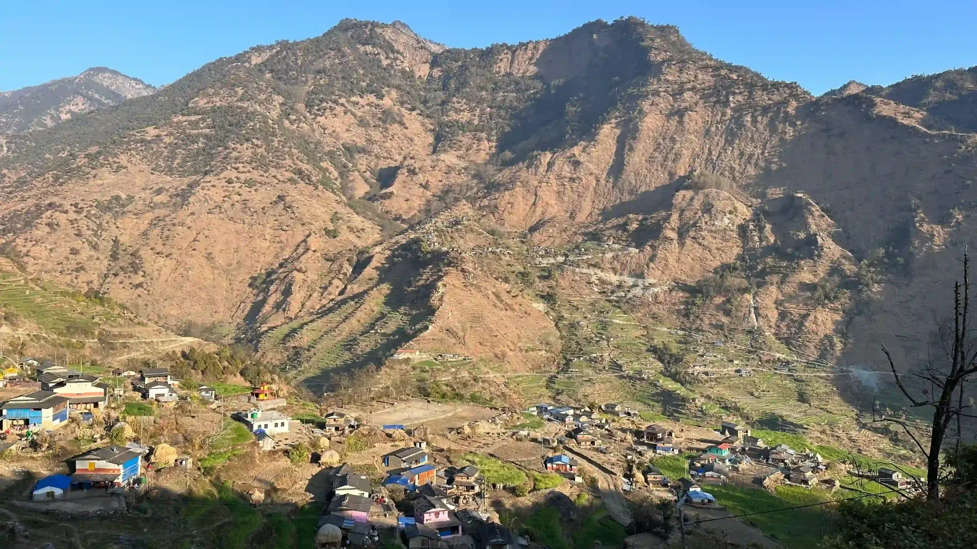
In the early 1960s the town of Dhorpatan was chosen as one of four sites for resettling Tibetan refugees after 1959, and a small Tibetan settlement remains beside the indigenous Kham Magar. During the civil war of 1996-2006 Maoist insurgents took over the reserve and used it as a sanctuary. About 24,472 people in 2,945 families live in and around it, mainly Magar and Chantyal, relying on the reserve for timber, fuelwood, fodder and pasture[1].
Park History
The reserve was set up in 1983 and gazetted in 1987 and is managed by the Department of National Parks and Wildlife Conservation, divided into hunting blocks. Only blue sheep and Himalayan tahr may be hunted, under a seasonal quota, normally in spring and autumn[1].
Major Trails and Attractions
Treks cross the high meadows and passes of the reserve; a common route runs from Beni through Dharapani and Jaljala to Dhorpatan and on to Phagun Phedi.
Visitor Facilities and Travel
Baglung is the nearest large town, about 70 km away, and Beni is the usual trailhead. Dhorpatan village is the headquarters.
Conservation and Sustainability
A 2025 study found the blue sheep population fell from 2,593 in 1979 to 1,290 in 2021. Management costs exceeded trophy-hunting revenue from 2017/18 to 2022/23 by about US$322,500 a year, and a camera-trap survey with 56 cameras began in 2026[1].
Photos
1 photo