Annapurna
Nepal, Gandaki
About Annapurna
The Annapurna Conservation Area is Nepal's largest protected area, covering 7,629 km2 around the Annapurna range of the Himalayas. Its elevation runs from 790 m up to the summit of Annapurna I at 8,091 m. It spans the districts of Manang, Mustang, Kaski, Myagdi and Lamjung and is an IUCN category VI area, where people live and use resources under management[1].
Wildlife Ecosystems
The conservation area runs from low subtropical valleys to high alpine terrain, and its wildlife changes with elevation. It is listed as a BirdLife International Important Bird Area[1].
Flora Ecosystems
Vegetation follows the same steep elevation gradient, from subtropical forest on the southern slopes through temperate forest to alpine and dry rain-shadow steppe to the north, where rainfall is much lower[1].
Geology
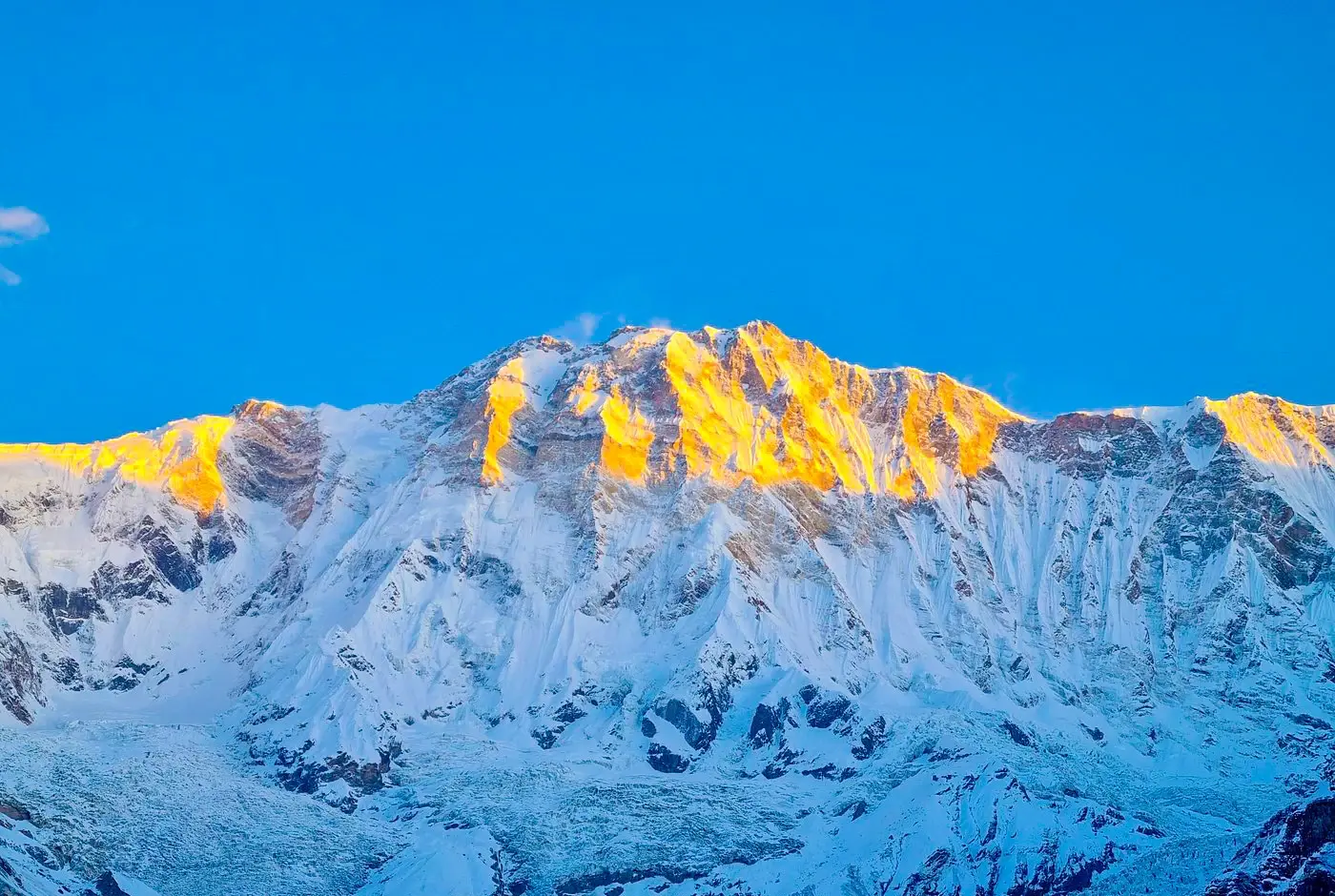
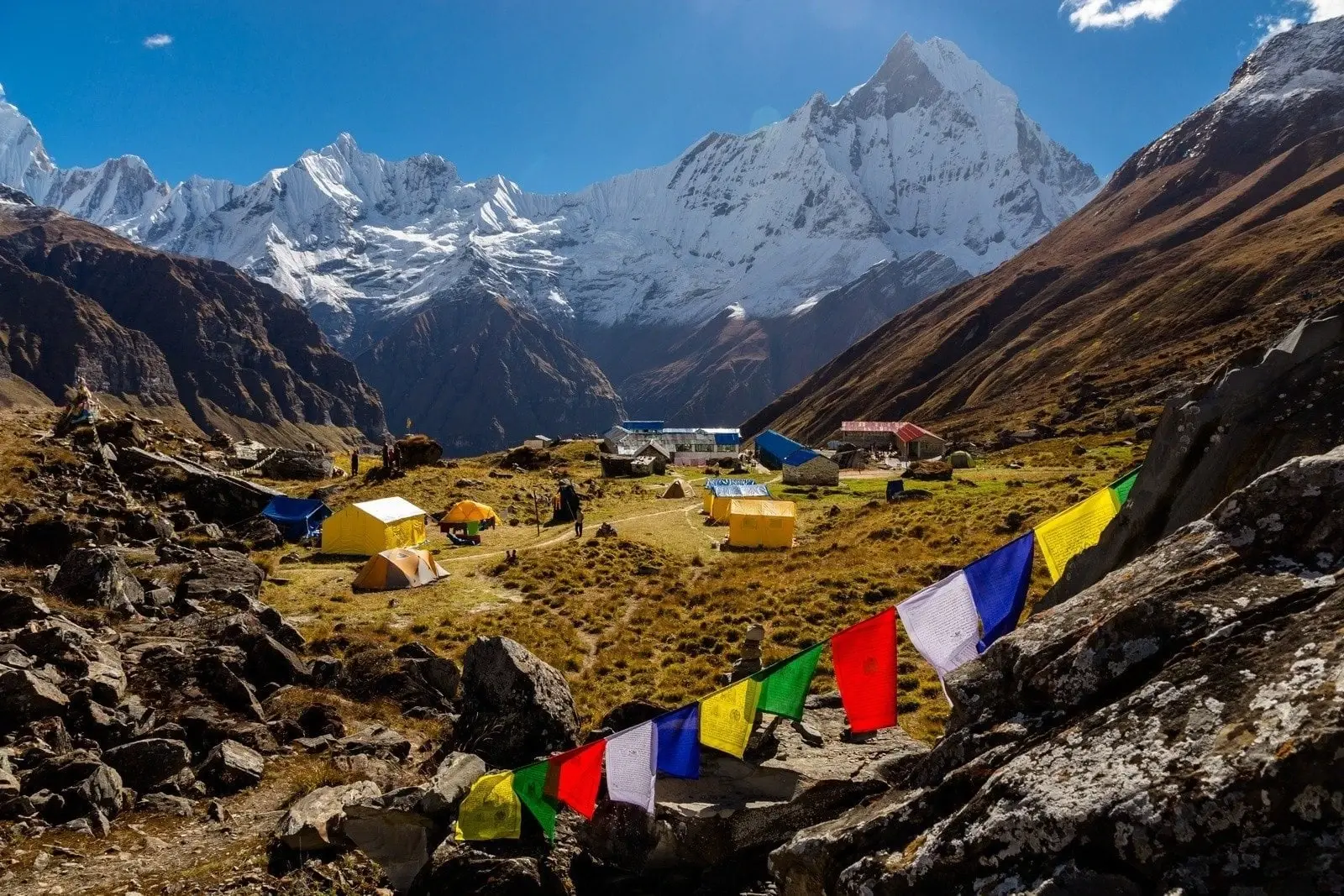
The area is dominated by the Annapurna massif, with the Annapurna Sanctuary basin at its heart. The Kali Gandaki valley on the western side is often described as one of the world's deepest gorges.
Climate and Weather
Rainfall is much higher on the southern side of the Annapurnas than in the northern rain shadow. Precipitation peaks in the June to September monsoon and ranges from 5,032 mm a year on southern slopes at 2,950 m to 1,099 mm in rain-shadow areas at 2,760 m. Snow accumulates between 2,000 and 3,000 m, and in the winter of 1999-2000 ground above 3,000 m stayed snow-covered until the end of March and above 4,400 m until May[1].
Human History
The valleys of the conservation area are inhabited, and its villages lie along the routes that trekkers now walk, such as the Annapurna Circuit.
Park History
The conservation area grew out of a project of the National Trust for Nature Conservation, which started as a pilot at Ghandruk in 1986 and expanded village by village until the area was gazetted in 1992. It is managed with local communities rather than as a strict reserve[1].
Major Trails and Attractions
The Annapurna Sanctuary and the Annapurna Circuit are the best-known routes, among several trekking trails in the area[1]. Tilicho Lake, at about 4,900 m, and the Kali Gandaki valley toward Mustang are other well-known destinations.
Visitor Facilities and Travel
Pokhara, about 30 km from the area's southern edge, is the usual gateway. Trekkers need a permit, which is issued in Pokhara and Kathmandu and checked at checkpoints along the trails, and villages along the main routes have teahouses.
Conservation and Sustainability
Conservation here is community-based, as befits an IUCN category VI area where people live and use resources under management; the project began as a pilot by the National Trust for Nature Conservation in 1986[1].
Photos
1 photo