Hallasan
South Korea, Jeju
About Hallasan
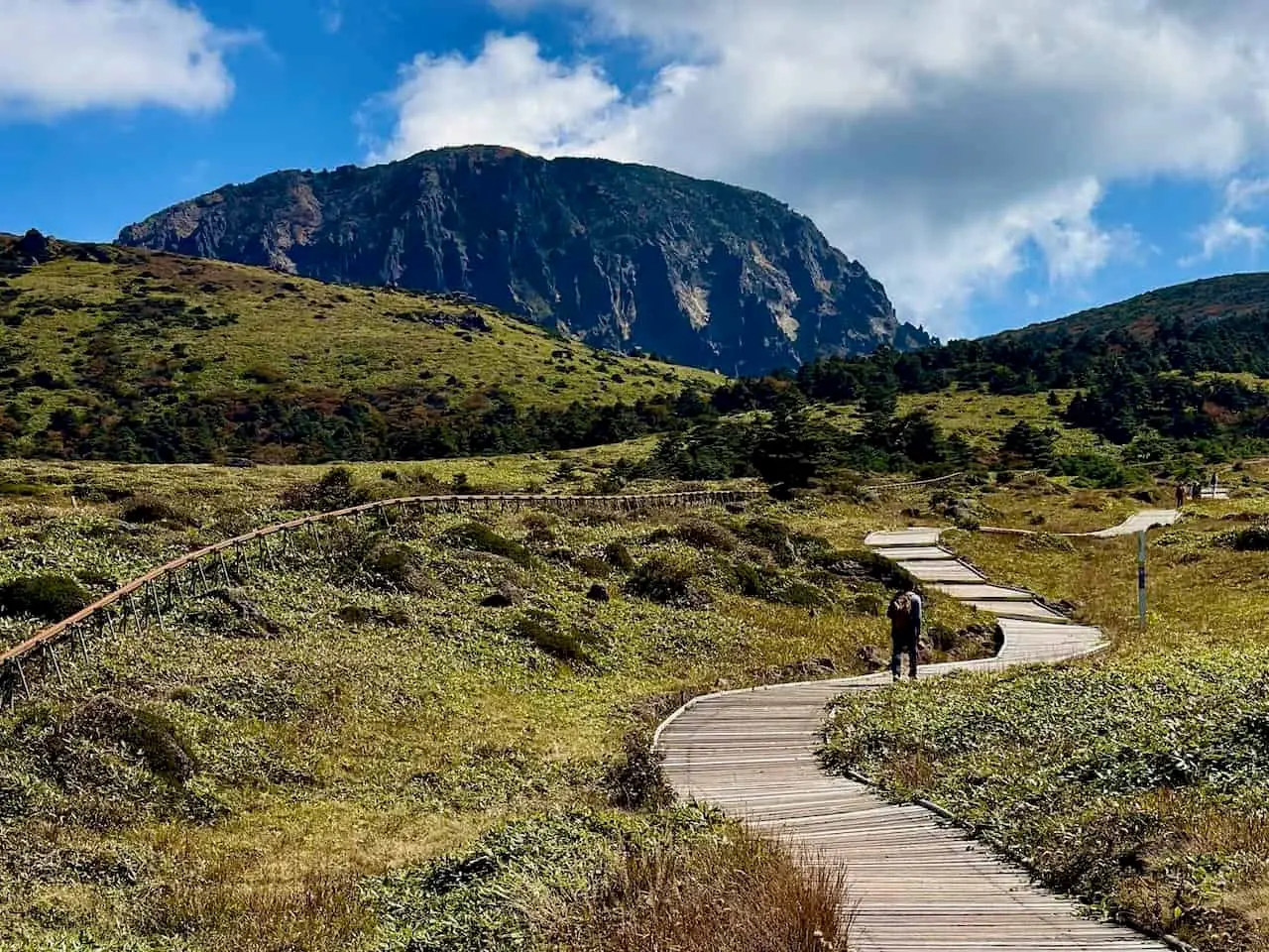
Hallasan National Park centres on a shield volcano on Jeju Island whose summit rises 1,950 m, the highest in South Korea, with a crater lake at the top. The park covers 153.11 km2 and was established on 24 March 1970[1]. It is managed by Jeju Province, the only national park in South Korea not run by the national park service[1].
Wildlife Ecosystems
The Korean Wikipedia article lists 873 insect species, 198 bird species, 8 reptile species and 17 mammal species. Three animals are named as endangered and needing special protection: the Korean roe deer, the leopard cat and Dybowski's frog[2].
Flora Ecosystems
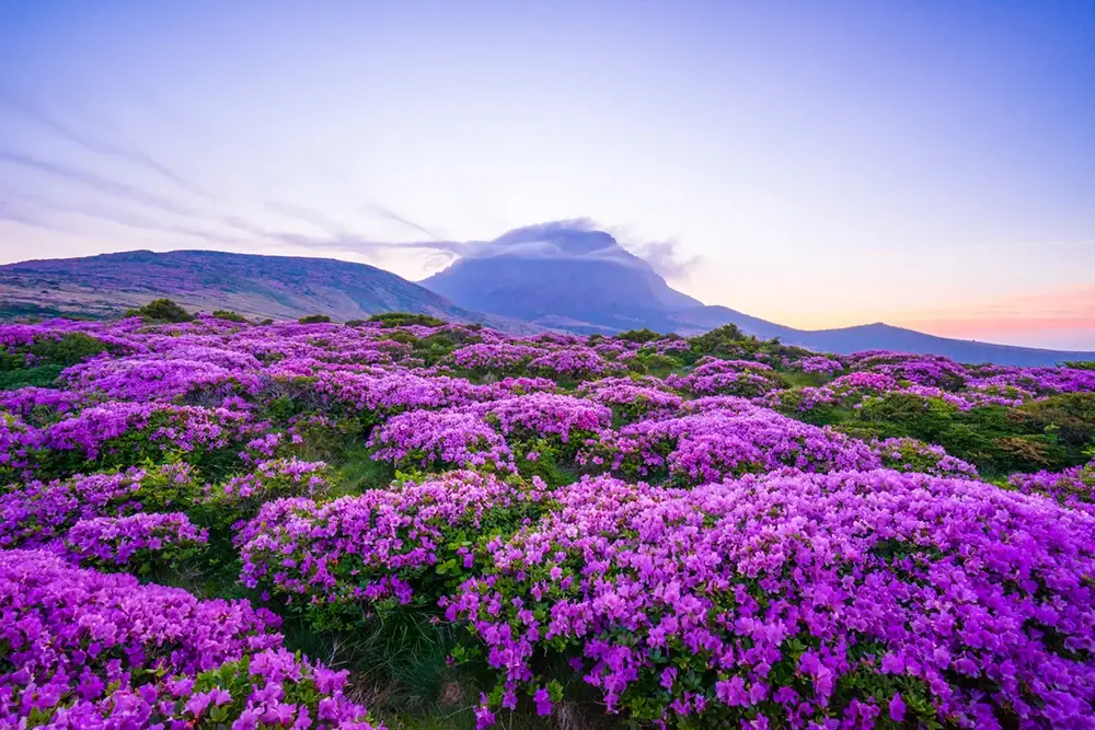
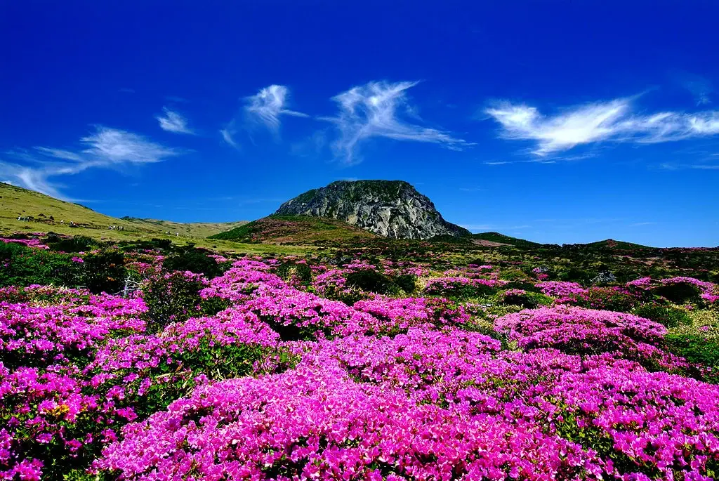
About 1,800 plant species are recorded[1]. Vegetation changes with height: subtropical evergreens such as Neolitsea, Daphniphyllum and Eurya on the lower slopes, oaks, hornbeams and maples in the middle zone, and Korean fir, juniper, crowberry and Siromi above. Korean fir, an endemic species, is widespread near the summit[2].
Geology
Hallasan is a shield volcano built mostly of basalt, with a gentle slope along the east-west axis and a steeper south side, and a crater lake at the summit[1].
Climate and Weather
The lower slopes have a warm subtropical climate and the upper slopes are alpine in character. Snow once lasted into May, so ice was carried down from the summit[2].
Human History
The mountain has long been regarded as sacred and was counted among Korea's three sacred mountains. A national ritual for the country's welfare was held at the summit, and in 1469 a shrine and stone altar were set up at Sancheondan; the altar survives. A French expedition under La Perouse estimated its height in 1787, and Siegfried Genthe is credited with a first summit measurement of 1,950 m in 1901[2].
Park History
Hallasan was designated South Korea's 9th national park on 24 March 1970. It became a UNESCO Biosphere Reserve in 2002 and, as part of Jeju Volcanic Island and Lava Tubes, a World Heritage Site in 2007[1].
Major Trails and Attractions
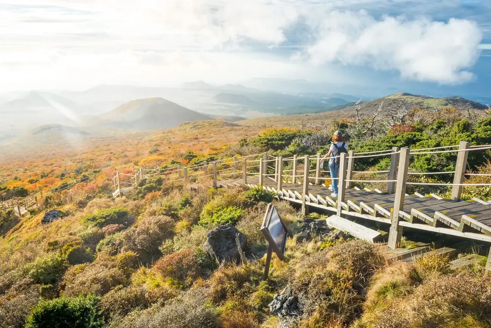
There are seven trails. Seongpanak (9.6 km, about 4.5 hours one way) and Gwaneumsa (8.7 km, about 5 hours) lead to the summit crater lake. Donnaeko (7 km), Eorimok (6.8 km) and Yeongsil (5.8 km) end at the South Cliff Junction, while Seokgulam (1.5 km) and Eoseungsaengak (1.3 km) are short walks[1].
Visitor Facilities and Travel
Seongpanak and Eorimok start at visitor centres, Gwaneumsa at a campground and Yeongsil at a management office[1]. The park lies on Jeju Island, about 25 km from Jeju city.
Conservation and Sustainability
Photos
3 photos