Mt. Kumgang
North Korea, Kangwon
About Mt. Kumgang
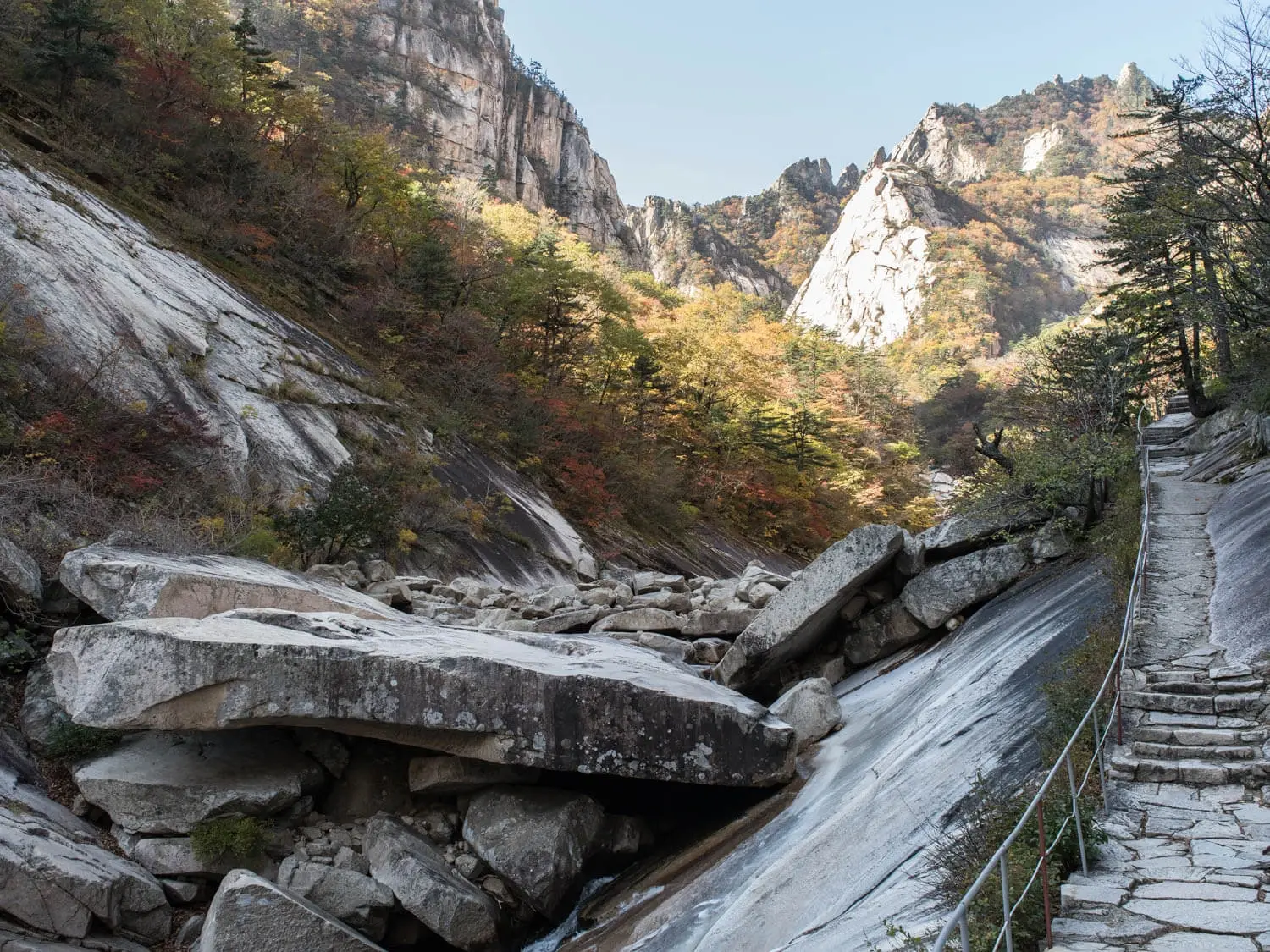
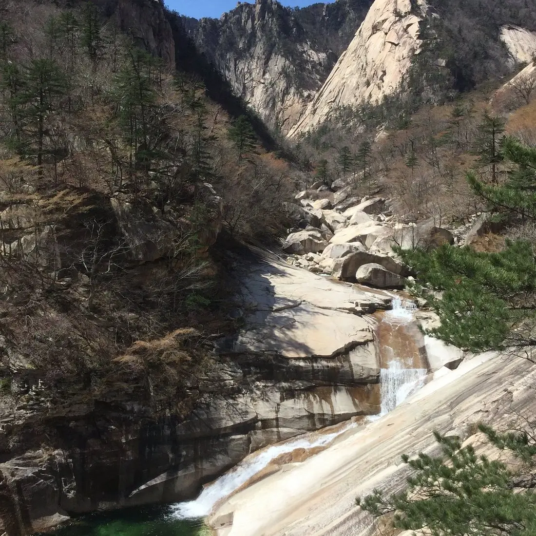
Mount Kumgang, also called the Diamond Mountains, is a massif in Kangwon Province on North Korea's east coast, about 50 km from Sokcho in South Korea. It covers about 530 km2, up to 40 km east to west and 60 km north to south, and its main peak, Pirobong, rises to 1,638 m[1]. More than 60 peaks top 1,000 m, and the range was historically known as the "12,000 peaks"[1].
Wildlife Ecosystems
Flora Ecosystems
Geology
The rock of Mount Kumgang is mostly two types of granite, with granite-gneiss zones in some areas. Erosion and weathering over roughly 10 million years produced the massif's pinnacles, cliffs and unusual rock formations[1].
Climate and Weather
Rainfall is relatively high, peaking in July and August. Winters are very cold at higher altitudes, and snow can arrive as early as October[1].
Human History
The mountain has been celebrated for its scenery since ancient times, and Joseon-era poets and artists made pilgrimages to it. Jeong Seon painted well-known works of Mount Kumgang in the 1740s[1].
Park History
Major Trails and Attractions
The main draw is the massif's granite peaks, led by Pirobong at 1,638 m, together with its cliffs and forested valleys[1]. Its name refers to the sparkling, hard cliffs of the range.
Visitor Facilities and Travel
South Korean tourism began in 1998, first by cruise ship and later mainly by coach, with a land route opening in 2003. Trips were suspended after a 2008 shooting of a South Korean tourist, and since 2011 North Korean cruises have run from Rason, mainly for Chinese visitors[1]. The nearest city in the row is Wonsan.
Conservation and Sustainability
Photos
1 photo