Juwangsan
South Korea, North Gyeongsang
About Juwangsan
Juwangsan National Park is in Cheongsong and Yeongdeok, North Gyeongsang, in the Taebaek mountain range. It was designated South Korea's 12th national park on 30 March 1976 and covers 107.42 km2[1].
Wildlife Ecosystems
Flora Ecosystems
Geology
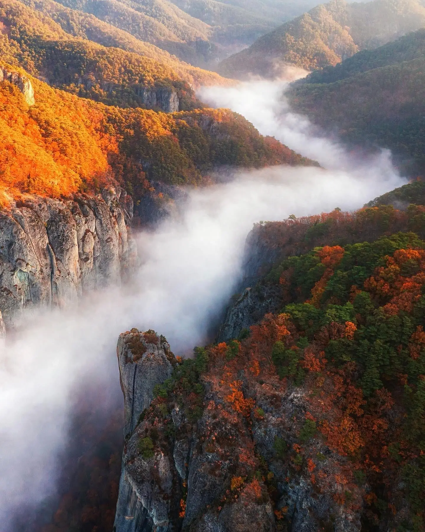
Juwangsan was formed by volcanic activity at the end of the Cretaceous. Its main rock, the Juwangsan Tuff, is welded pyroclastic rock up to about 350 m thick, whose vertical cooling joints produced the cliffs, gorges, caves and waterfalls. The area is part of the Cheongsong UNESCO Global Geopark[2].
Climate and Weather
The park lies in the Taebaek range with four distinct seasons, hot humid summers and cold winters.
Human History
Park History
The park was designated on 30 March 1976. The area was also named Scenic Site No. 11 on 31 October 2003[2].
Major Trails and Attractions
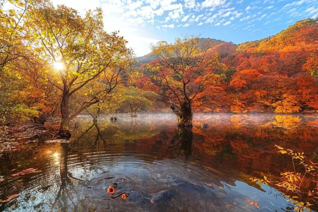
The Juwang Valley trail runs 2.7 km from Daejeonsa to Yongchu Falls and is gentle and wheelchair-accessible. Yongyeon Falls is the largest waterfall in the park, and Jusanji is a reservoir known for submerged king willows. The Gamebong route is the hardest[2].
Visitor Facilities and Travel
The main entrance is the paid Sangui car park, near the eco-tourism centre by Daejeonsa. Other entrances are at Jeolgol, Jusanji and Wolwoe. Cheongsong is reached via the Dangjin-Yeongdeok Expressway and rural buses stop at the Daejeonsa entrance and Jusanji[2].
Conservation and Sustainability
Juwangsan is protected as a national park, a Scenic Site and part of the Cheongsong geopark[2].
Photos
1 photo