International Parks
  • Explore
  • Map
  • Ratings
  • Review
  • Wiki
  • Suggest a Park
  • About
Log In
  1. Home
  2. South Korea Parks
  3. Jirisan

Quick Actions

Park SummaryView on MapSouth Korea WikiWiki HomeWrite ReviewReport an Issue

Nearby Parks

Ungseokbong21 kmGososeong25 kmJangansan37 kmHwangmaesan40 kmGibaeksan45 km

Platform Stats

23,798Total Parks
217Countries & Territories
Support Us
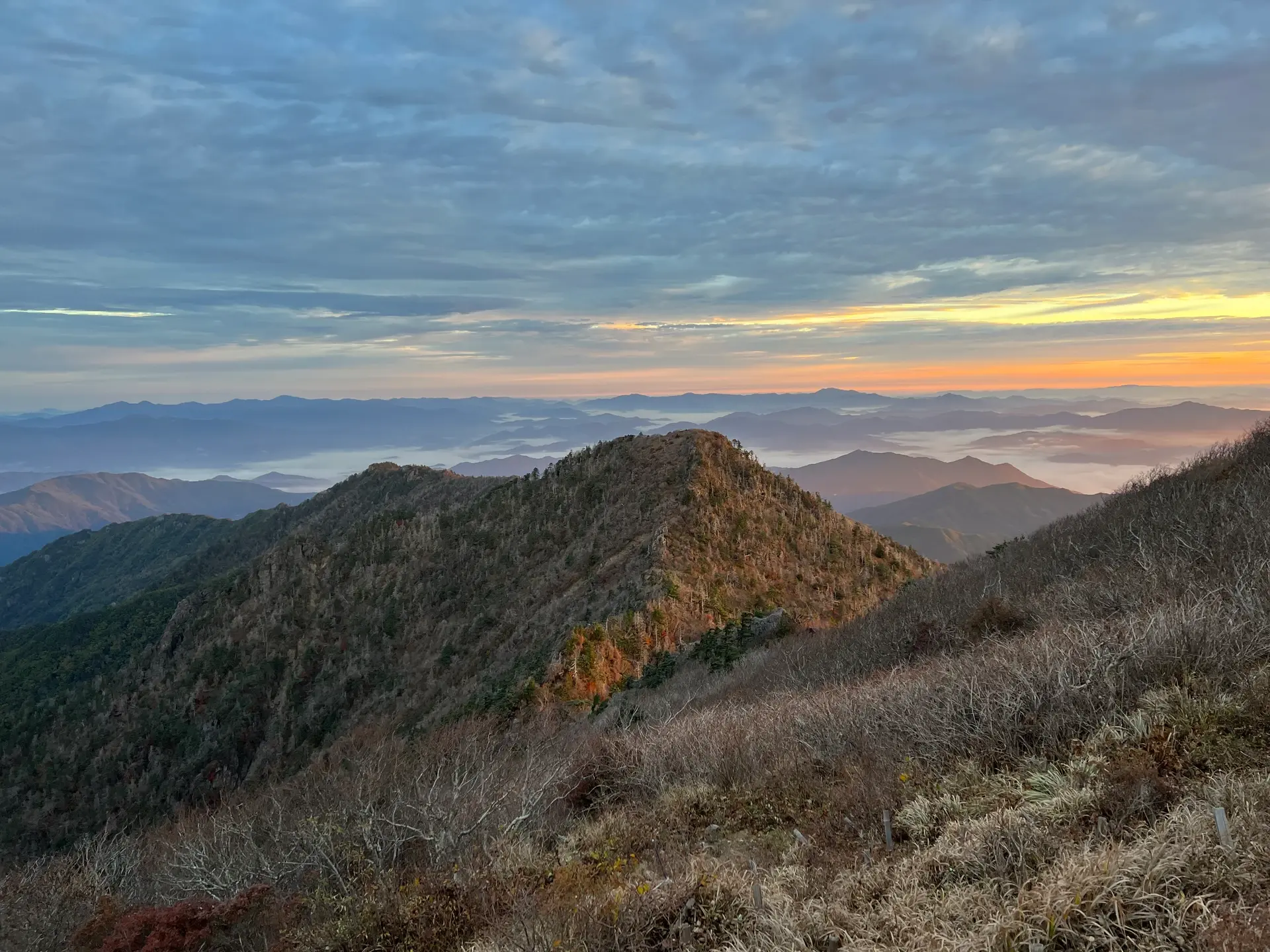
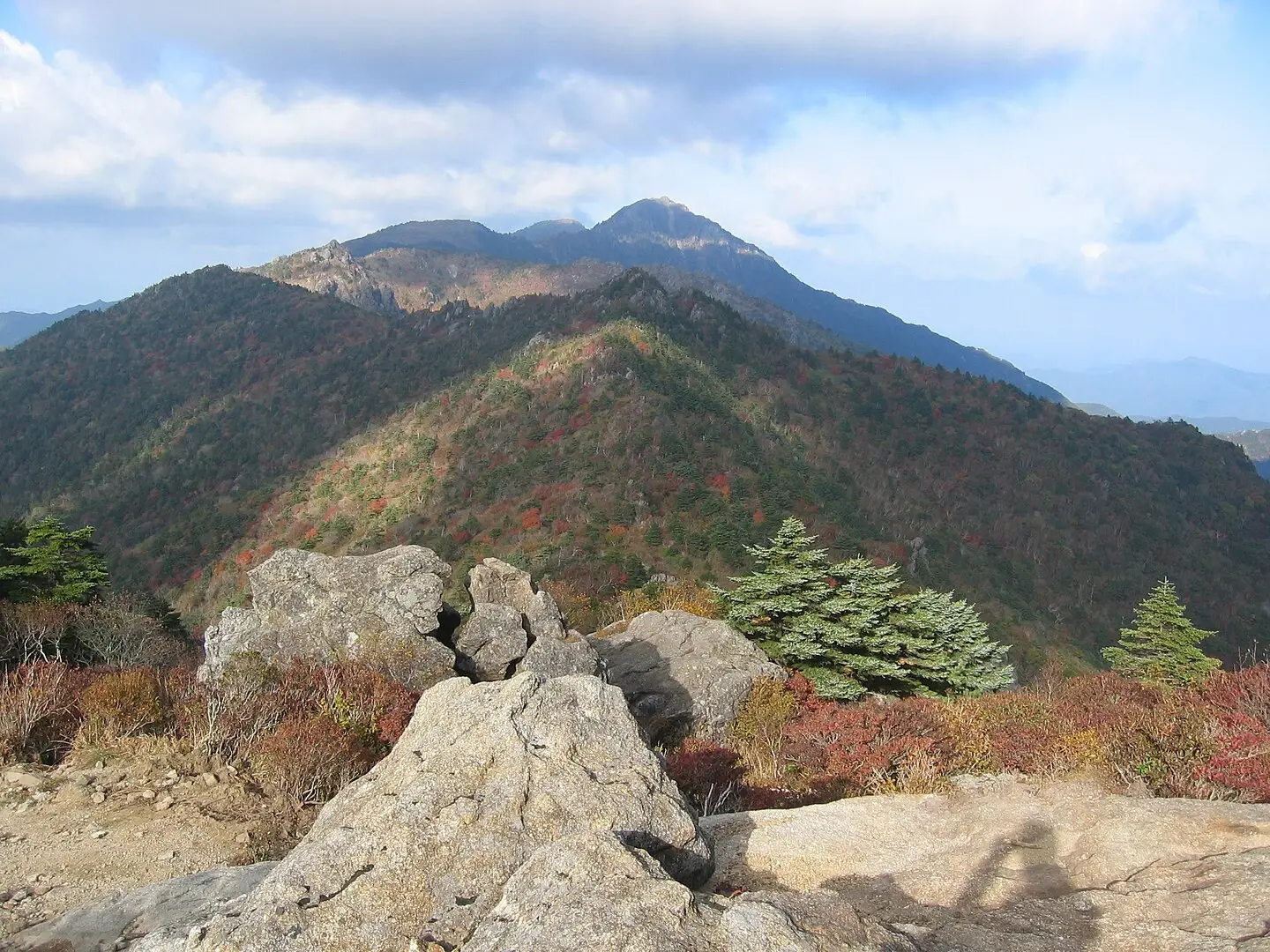
Jirisan in South Gyeongsang, South Korea

Jirisan

South Korea, South Gyeongsang

  1. Home
  2. South Korea Parks
  3. Jirisan

Jirisan

LocationSouth Korea, South Gyeongsang
RegionSouth Gyeongsang
TypeNational Park
Coordinates35.29°, 127.632° (show on the map)
Established1967
Area472 km²
Nearest CityGurye (15 km)
Major CityJinju (50 km)
See all parks in South Korea →
Contents
  1. Park Overview
    1. About Jirisan
    2. Wildlife Ecosystems
    3. Flora Ecosystems
    4. Geology
    5. Climate and Weather
    6. Human History
    7. Park History
    8. Major Trails and Attractions
    9. Visitor Facilities and Travel
    10. Conservation and Sustainability
  2. Visitor Information
    1. Visitor Ratings
    2. Photos
  3. Sources

About Jirisan

Jirisan National Park lies where Jeollanam-do, Jeollabuk-do and Gyeongsangnam-do meet, next to the towns of Namwon, Gurye and Hamyang[1]. Designated on 29 December 1967, it was the first national park in South Korea and is described as the country's largest terrestrial national park, covering 471.75 km²[1]. The high point is Cheonwangbong at 1,915 m, the second-highest mountain in South Korea after Hallasan[2]. The park is ranked IUCN Category II and is best known for its long main ridge and for the Asiatic black bear restoration programme[1].

Wildlife Ecosystems

Jirisan is where the national park service started its Asiatic black bear restoration project; 28 bears have been released, six died and four were recaptured because they did not adapt, while the rest have survived winters and bred[2]. Academic surveys report 421 animal species, including 41 mammals, 165 birds and 215 insects[2]. Mammals include wild boar, roe deer, raccoon dogs and squirrels, and protected species such as the Siberian flying squirrel, leopard cat, marten and otter are present[2].

Flora Ecosystems

About 1,500 plant species are reported from Jirisan, the most in South Korea after Hallasan[2]. Some are found only in Korea, and several are protected as endangered, including Siberian ginseng (Eleutherococcus senticosus)[2]. Northern and alpine plants persist on the high ridges, which marks the southern edge of their range[2].

Geology

Jirisan is a large mountain massif. Its main ridge runs about 25.5 km and carries several summits above 1,000 m: Cheonwangbong (1,915 m), Banyabong (1,732 m) and Nogodan (1,507 m)[2]. The mountain stands on the boundary of three provinces, with a perimeter of about 320 km[2].

Climate and Weather

The high ridges hold northern and alpine plants at the southern limit of their range[2], which reflects a cooler mountain climate than the lowlands that surround the massif.

Human History

Jirisan has long served as a refuge. People caught up in conflict, including anti-Japanese righteous armies, Donghak rebels and partisans of the Korean War period, took shelter on the mountain[2]. Well-known temples on its slopes include Hwaeomsa, Yeongoksa, Cheoneunsa, Ssanggyesa, Silsangsa, Daewonsa, Chilbulsa and Byeoksongsa[2].

Park History

Jirisan was designated on 29 December 1967, the first time a Korean national park was named[1]. The Korea National Park Service governs it[1]. The park runs a pioneering restoration programme for areas damaged by overuse[1].

Major Trails and Attractions

The classic route is the main-ridge traverse from Hwaeomsa to Daewonsa, which takes two to three nights or, at a slower pace, three to four; the climb from Hwaeomsa to Nogodan is the hardest section[2]. The fastest route to Cheonwangbong starts at Jungsan-ri, while the Chilseon Valley route is open only in limited periods and is the most difficult day route to the summit[2].

Visitor Facilities and Travel

Gurye is the nearest town[1]. Mountain shelters along the ridge include Sesok, the largest at 190 places, Byeoksoryeong (120), Nogodan (two shelters, 140 and 50) and Yeonhacheon (40)[2]. The park receives about 1.5 million visitors[1].

Conservation and Sustainability

The park service manages the area as IUCN Category II and runs the bear restoration project, with a plan to expand restoration nationwide once at least 50 bears are established in the wild[2]. A restoration programme repairs areas damaged by overuse[1].

Visitor Ratings

Not yet rated. Been here? Your review gives this park its first scores.

Write a review

Photos

1 photo
Jirisan in South Gyeongsang, South Korea

Sources

  1. en.wikipedia.org/wiki/Jirisan_National_Park (opens in a new tab)
  2. ko.wikipedia.org/wiki/지리산 (opens in a new tab)

International Parks

Helping nature enthusiasts discover and explore the world's most remarkable protected areas.

© 2026 International Parks. All rights reserved.

Navigation

  • Home
  • Explore Parks
  • Interactive Park Map
  • Park Ratings & Rankings
  • Park Wiki
  • Parks by Country

Resources

  • About Us
  • US National Park Seasons
  • Privacy & Terms
  • Copyright & Takedown

Account

  • My Profile
  • Suggest a Park
  • Write a Review
  • Log In
  • Sign Up

Connect

Support This Project

Contact Us

internationalparksbusiness@gmail.com

Explore by Country

  • United States
  • Canada
  • Australia
  • United Kingdom
  • Japan
  • Brazil
  • India
  • France
  • Germany
  • Italy
  • Spain
  • Thailand
  • All countries