Jinan-Muju
South Korea, North Jeolla
About Jinan-Muju
Jinan-Muju Geopark in North Jeolla centres on the Jinan Basin and its Cretaceous rocks, and is a geopark valued for research on East Asian tectonics[1].
Wildlife Ecosystems
The geopark lies in the highland basin around Jinan and Muju.
Flora Ecosystems
The geopark spans the uplands of Jinan and Muju in North Jeolla.
Geology
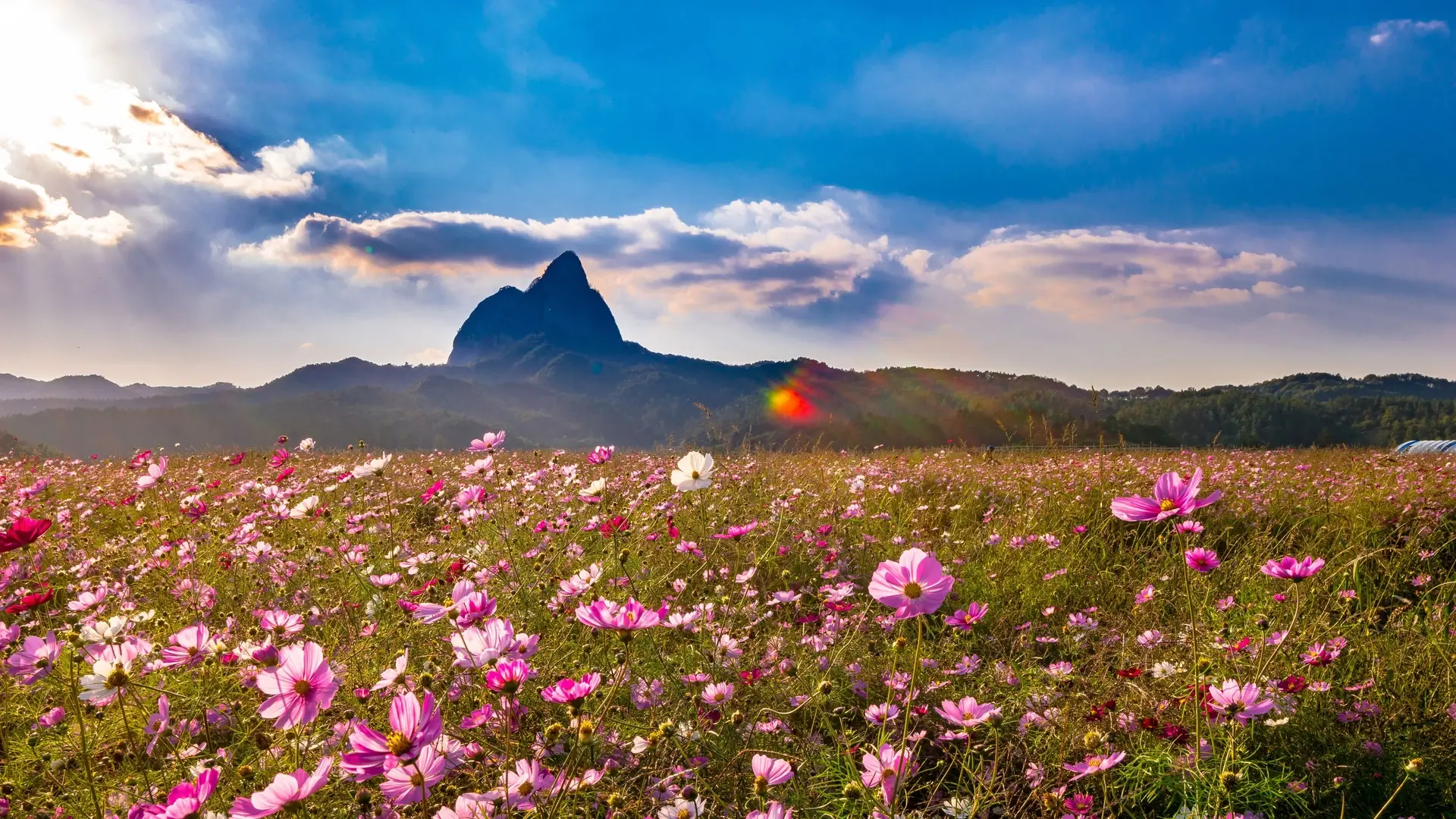
The Jinan Basin is a rhombus-shaped Cretaceous basin formed between strike-slip faults, with sedimentary and volcanic rocks[1]. Maisan is conglomerate about 100 million years old, the only peak in Korea made entirely of it, with tafoni hollows. Unilam-Banilam was formed by rhyolitic lava flows around 90 to 80 million years ago[1].
Climate and Weather
The highland basin has cold winters and warm, humid summers.
Human History
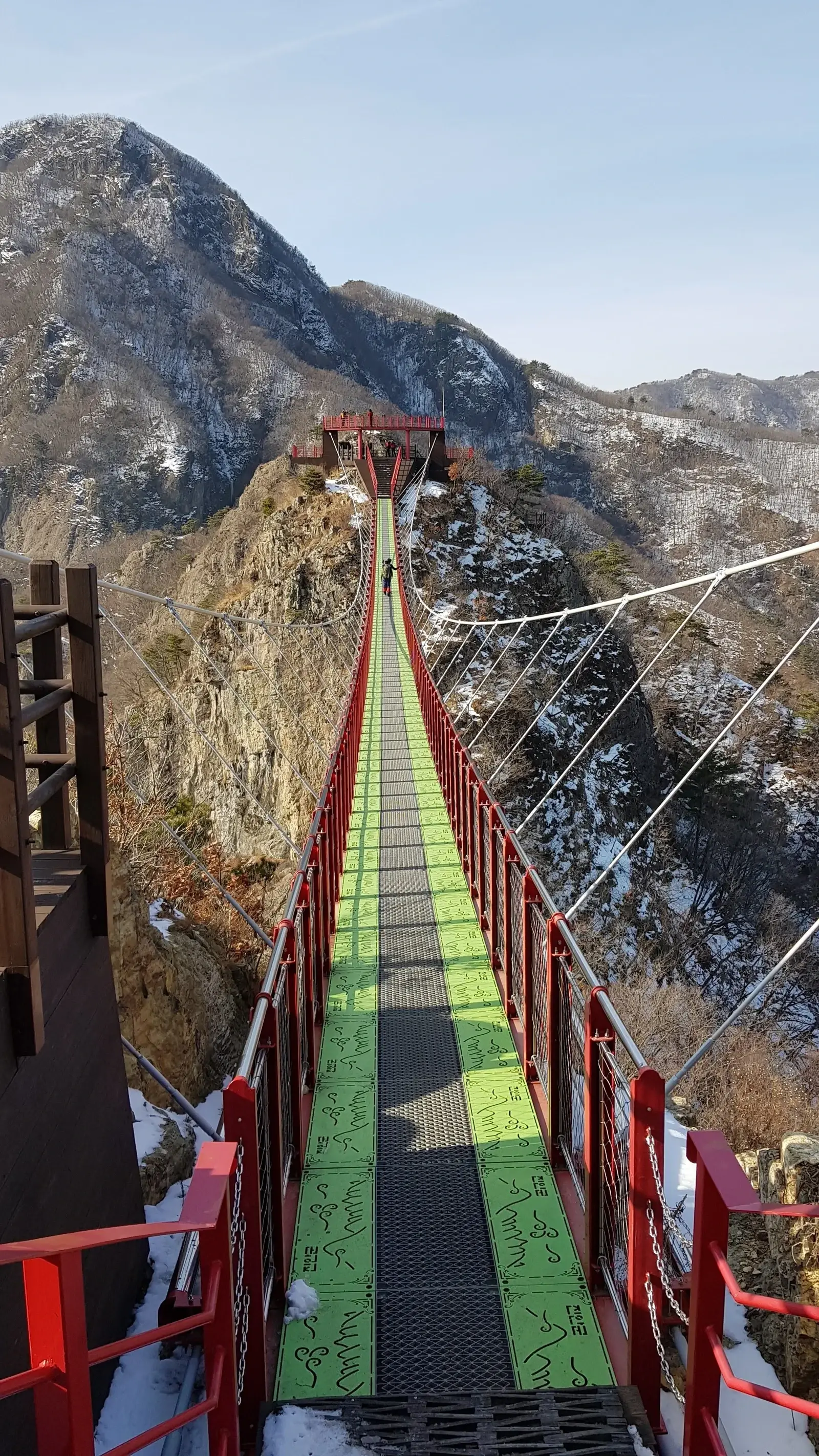
The Unilam-Banilam gorge was once a main route between Jeonju and Yongdam, with a wooden walkway along its cliffs called a "bridge in mid-air"[1].
Park History
The geopark's visitor centre is designated a national geopark information office[1].
Major Trails and Attractions
The five geosites are Maisan Cretaceous conglomerate, Unilam-Banilam volcanic rocks, the Cheonbansan incised meander, the Guboksan volcanic rock formation and the Unyo-ri delta deposits. Maisan is Scenic Site No. 12 and earned three stars in the Michelin Green Guide[1].
Visitor Facilities and Travel
A visitor information centre near Maisan displays the rock types of each geosite and runs children's activities including making tafoni models[1].
Conservation and Sustainability
Maisan is protected as a scenic site, and the geopark's displays teach visitors about each geosite's rocks[1].
Photos
1 photo