International Parks
  • Explore
  • Map
  • Ratings
  • Review
  • Wiki
  • Suggest a Park
  • About
Log In
  1. Home
  2. Myanmar Parks
  3. Alaungdaw Kathapa

Quick Actions

Park SummaryView on MapMyanmar WikiWiki HomeWrite ReviewReport an Issue

Nearby Parks

Mahamyaing111 kmBwe Par Taung121 kmKyauk Pan Taung122 kmNatma Taung138 kmPhawngpui Blue Mountain143 km

Platform Stats

23,798Total Parks
217Countries & Territories
Support Us
Alaungdaw Kathapa in Sagaing, Myanmar

Alaungdaw Kathapa

Myanmar, Sagaing

  1. Home
  2. Myanmar Parks
  3. Alaungdaw Kathapa

Alaungdaw Kathapa

LocationMyanmar, Sagaing
RegionSagaing
TypeNational Park
Coordinates22.3833°, 94.4167° (show on the map)
Established1989
Area1,403 km²
Nearest CityMonywa (65 km)
Major CityMandalay (130 km)
See all parks in Myanmar →
Contents
  1. Park Overview
    1. About Alaungdaw Kathapa
    2. Wildlife Ecosystems
    3. Flora Ecosystems
    4. Geology
    5. Human History
    6. Park History
    7. Major Trails and Attractions
    8. Visitor Facilities and Travel
  2. Visitor Information
    1. Visitor Ratings
    2. Photos
  3. Sources

About Alaungdaw Kathapa

Alaungdaw Kathapa National Park lies in Kani and Mingin townships, Sagaing Region, in the mountains between the Chindwin and Myittha rivers. It is an ASEAN Heritage Park and an Important Bird Area[1].

Wildlife Ecosystems

A January 1999 survey sighted Asian elephant, gaur, Himalayan black bear, sun bear, dhole, sambar and wild boar, and a 1999 camera-trap survey recorded leopard, Asiatic golden cat and leopard cat. A bent-toed gecko, Cyrtodactylus annandalei, found in 2000 was described as new in 2003[1].

Flora Ecosystems

Forest types include moist upper mixed deciduous, dry upper mixed deciduous, lower mixed deciduous teak, indaing dry dipterocarp forest, and pine on higher ridges[2]. The park has 165 tree species and 39 medicinal plant species[1].

Geology

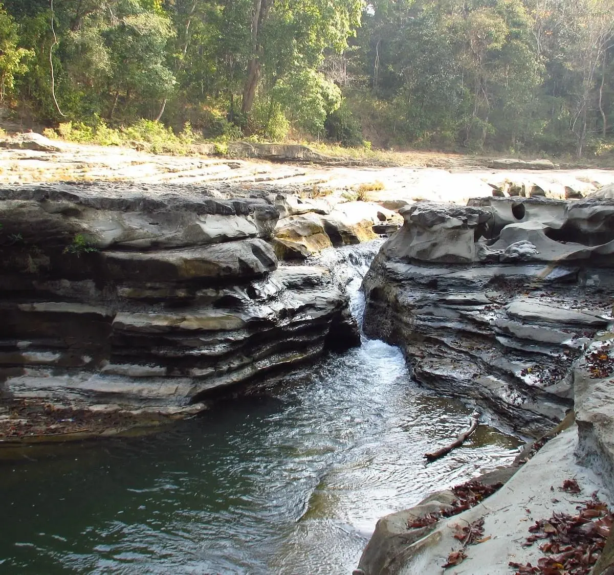
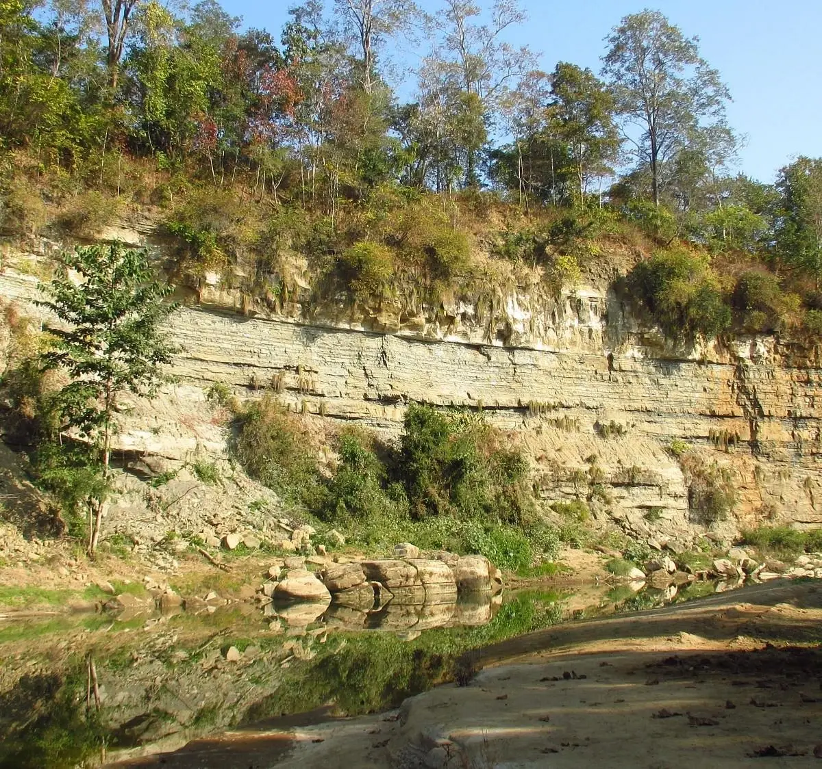
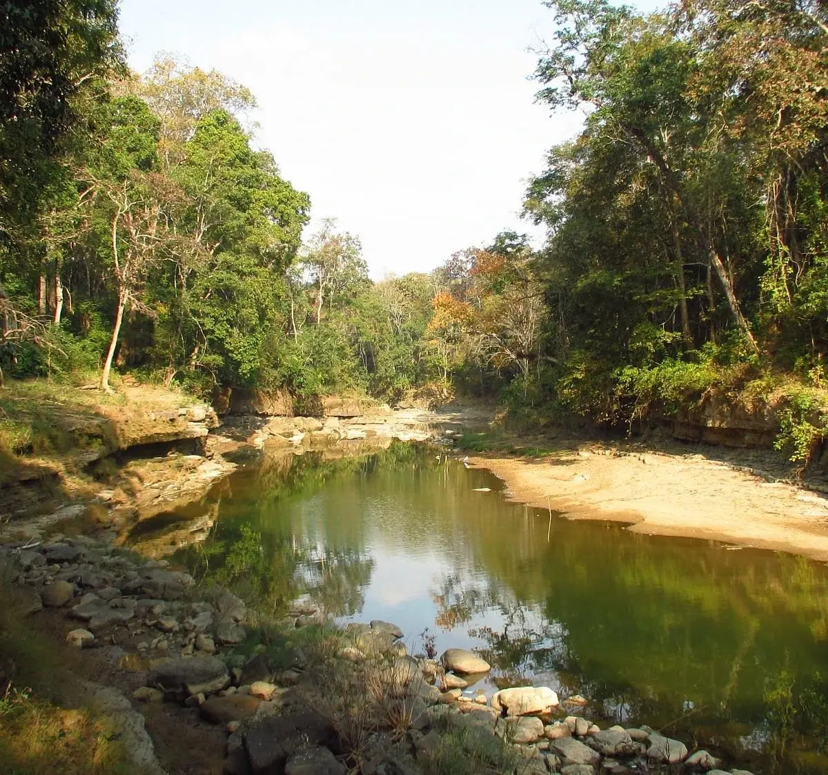
Elevation runs from 135 m to 1,335 m[1]. The park protects the catchment of the Pa-hto-lon and Taungdwin rivers, western tributaries of the Chindwin[2].

Human History

The park is named for a legendary monk who lived there in historical times. A shrine inside holds a reclining figure of Kathapa, a disciple of the Buddha whose remains are believed to lie there[2].

Park History

The area was declared a reserved forest in 1893 and selectively logged for teak. Surveyors proposed a national park in 1984, and it was gazetted in 1989[1].

Major Trails and Attractions

The Kathapa shrine draws over 100,000 pilgrims annually, and a small group of monks teaches visitors about conservation[2].

Visitor Facilities and Travel

Many streams inside the park become impassable in the rainy season[2].

Visitor Ratings

Not yet rated. Been here? Your review gives this park its first scores.

Write a review

Photos

2 photos
Alaungdaw Kathapa in Sagaing, Myanmar (photo 1 of 2)
Alaungdaw Kathapa in Sagaing, Myanmar (photo 2 of 2)

Sources

  1. en.wikipedia.org/wiki/Alaungdaw_Kathapa_National_Park (opens in a new tab)
  2. asean.chm-cbd.net/vi/node/526 (opens in a new tab)

International Parks

Helping nature enthusiasts discover and explore the world's most remarkable protected areas.

© 2026 International Parks. All rights reserved.

Navigation

  • Home
  • Explore Parks
  • Interactive Park Map
  • Park Ratings & Rankings
  • Park Wiki
  • Parks by Country

Resources

  • About Us
  • US National Park Seasons
  • Privacy & Terms
  • Copyright & Takedown

Account

  • My Profile
  • Suggest a Park
  • Write a Review
  • Log In
  • Sign Up

Connect

Support This Project

Contact Us

internationalparksbusiness@gmail.com

Explore by Country

  • United States
  • Canada
  • Australia
  • United Kingdom
  • Japan
  • Brazil
  • India
  • France
  • Germany
  • Italy
  • Spain
  • Thailand
  • All countries